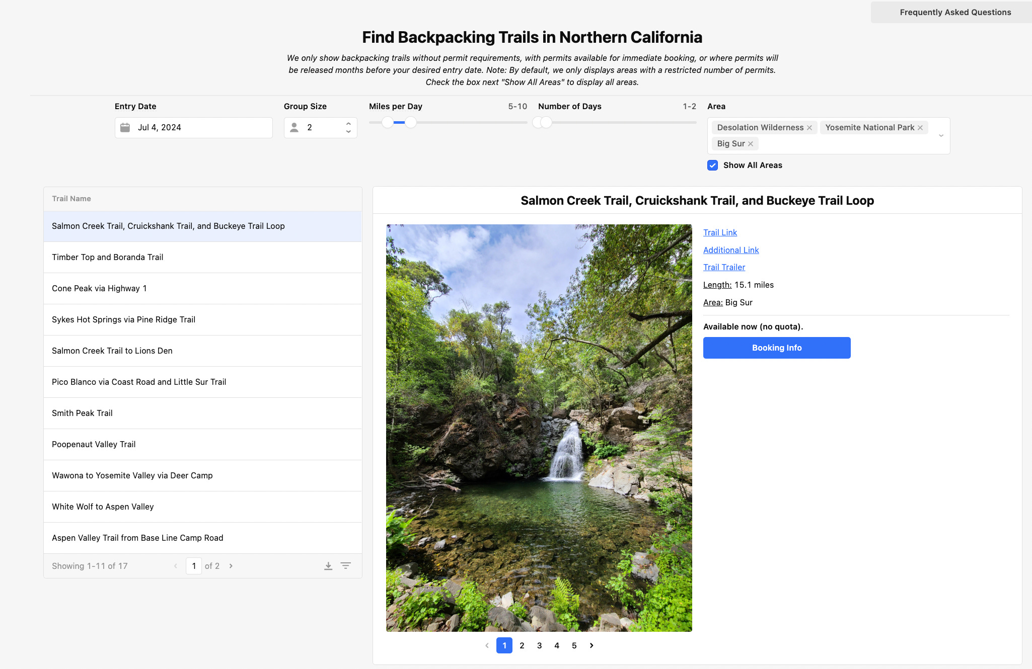
Big Sur’s Salmon Creek Trail, Cruickshank Trail, and Buckeye Trail Loop May 2024
Jun 23, 2024
Nestled along an overgrown, unmarked trail miles from the nearest trailhead in Big Sur is an emerald pool with a towering waterfall. The rhythmic thump of the falls filled my ears, and I could have sat and watched it flow for hours.
Over Memorial Day Weekend, hundreds of hikers and backpackers roamed Salmon Creek trail, but I doubt more than a dozen stumbled upon this fall. It pays to read a couple of trip reports and venture down some unmarked paths.
We chose Salmon Creek trail, Cruickshank trail, and Buckeye trail loop for Memorial Day Weekend for the cool weather, the absence of permit requirements, and the myth of waterfalls.
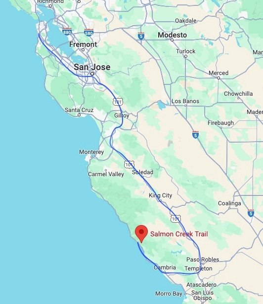
On Saturday, my friends picked me up and we drove down—well we drove a “J”—to Salmon Creek trailhead. Due to yet another year of landslides and road shutdowns, we were forced to drive all the way down to Paso Robles and back up along the coast. However, being a lucky passenger, I mostly slept during our extra driving.
Blue J is our driving route
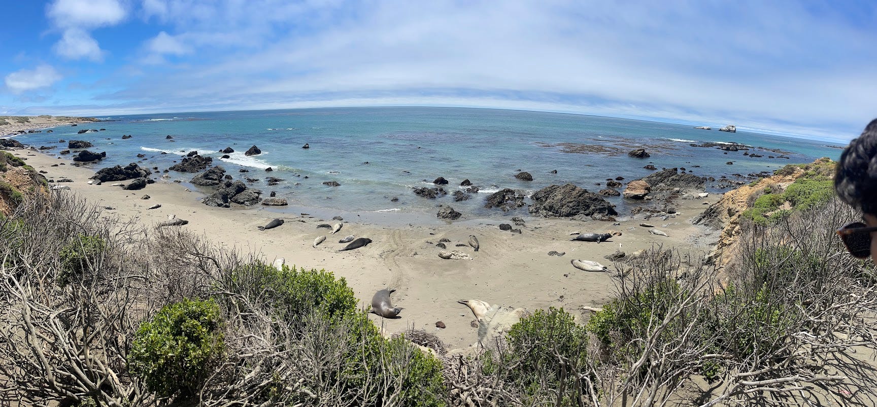
When I woke up, I noticed we weren’t at a gas station or the trailhead…we were surrounded by elephant seals. These long, chubby cuties lounged on the beach, exhausted from all the attention of the skinny onlookers with cameras.
A world also divided into stomach sleepers and side sleepers
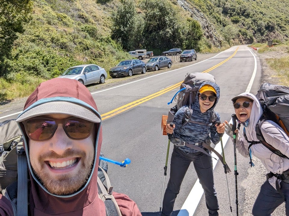
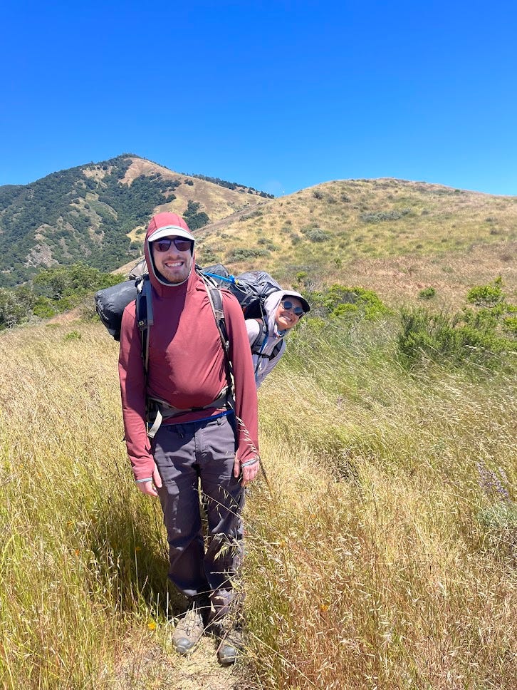
After the pit stop, we were ready to go and started up Buckeye Trail.
Before shot
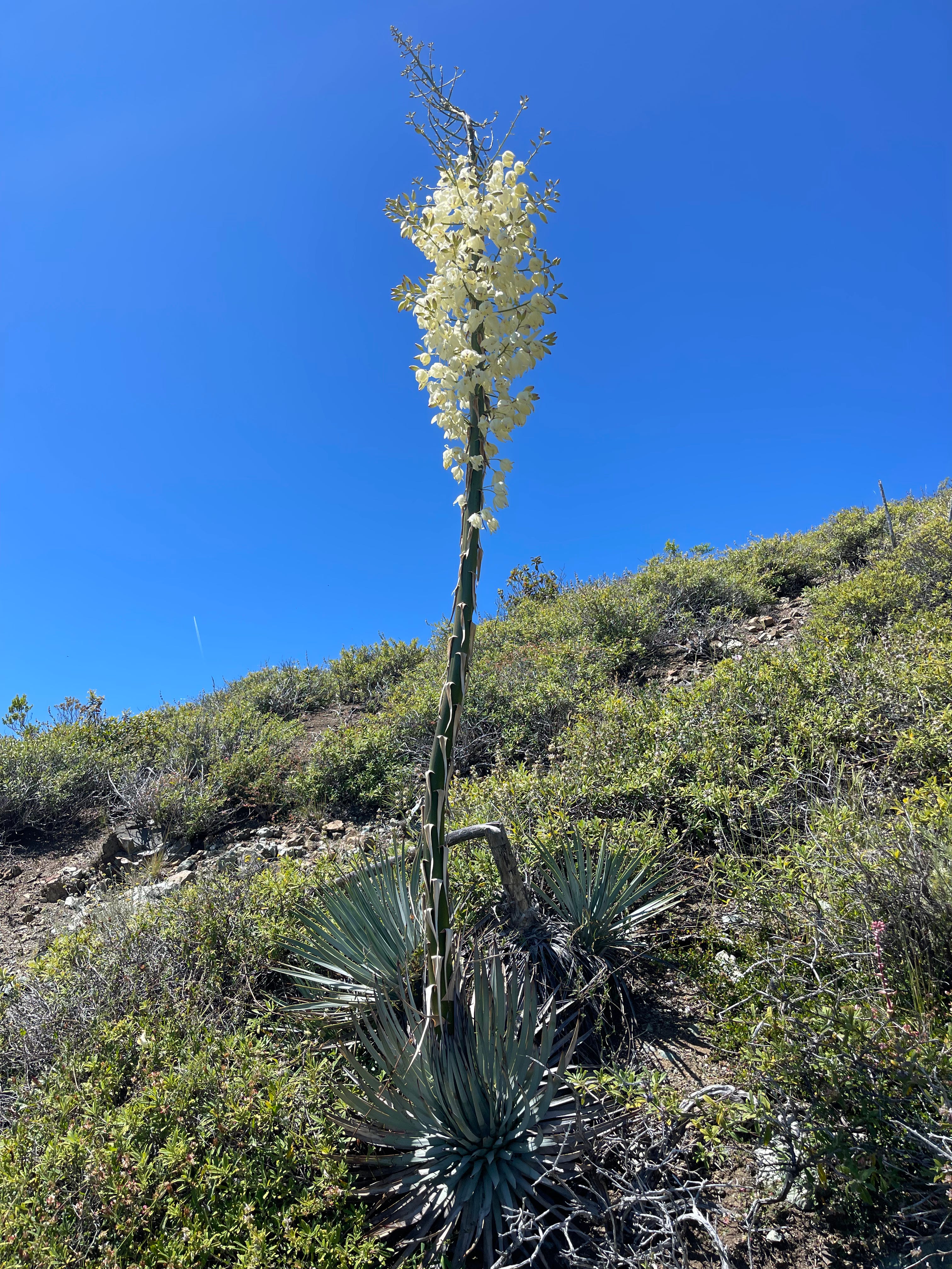
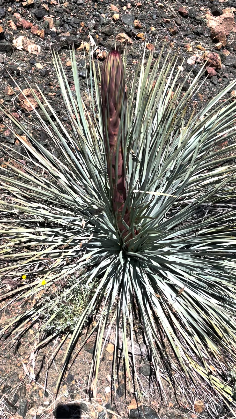
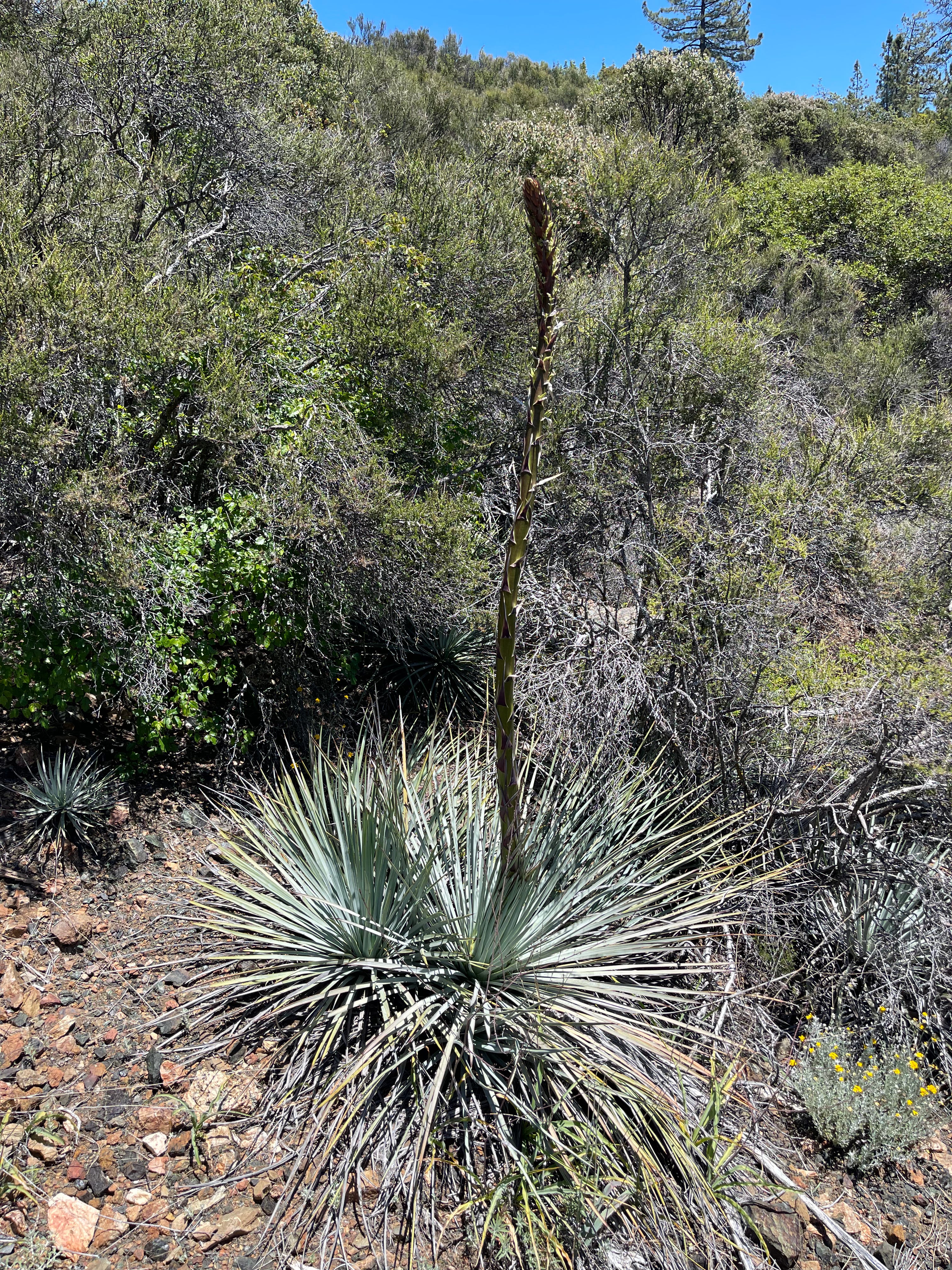
Within the first hour, we came across Chaparral Yucca—a 5 ft stalk covered in white flowers. It made me for the first time understand what Beyonce meant when she sang “Alien Superstar.” In the rest of our trip, it would pop up everywhere on the trail, mostly in full bloom but sometimes in other forms.
Full Bloom
Chaparral Yucca in the rocks
Chaparral Yucca as we walk
Some are budding
Some are asparagus (?)
We had planned to camp at Villa Creek camp, a name that evoked images of a Spanish beach town with swaying palm trees. While it wasn't quite that, it was the nicest campground we encountered that day. However by the time we got there, there weren't many spots to pitch a tent, and for some reason, most campers seemed very protective of their little plots of land—camping NIMBYs. So, we ventured off the trail a bit and found a cozy spot 50 feet above the creek to set up camp.
Villa Creek
Cute eh?
The next day, we continued our uphill journey. I didn't mention this before, but the entire trail was infested with poison oak, aka poi'o (pronounced like "chicken" in Spanish). It seemed to jump out from every corner, smacking our heads, hands, and legs as we walked.
Every move we made was dominated by poi'o paranoia. When savoring our Jolly Ranchers, we were careful not to touch poi'o-infected clothing. When cold, we noted down the layers of our clothes: sun hoodie infected on the outside, down jacket infected on the inside to avoid accidental skin contact later. At bedtime, we made sure the outside of our sleepwear wasn't poi'o-tainted, so our sleeping bags would stay safe. Although it’s uncertain whether all these precautions were needed, there were no poison oak outbreaks afterward.
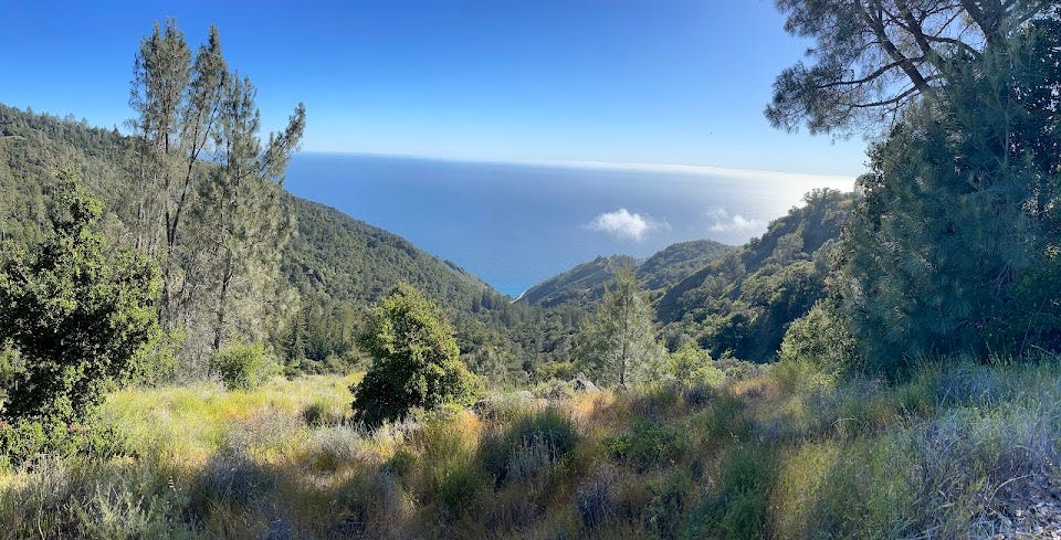
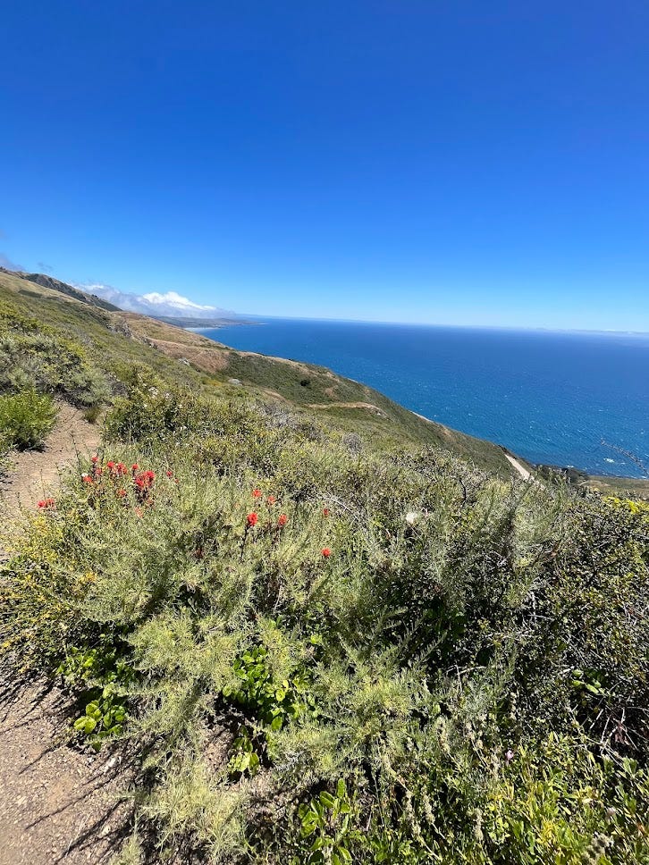
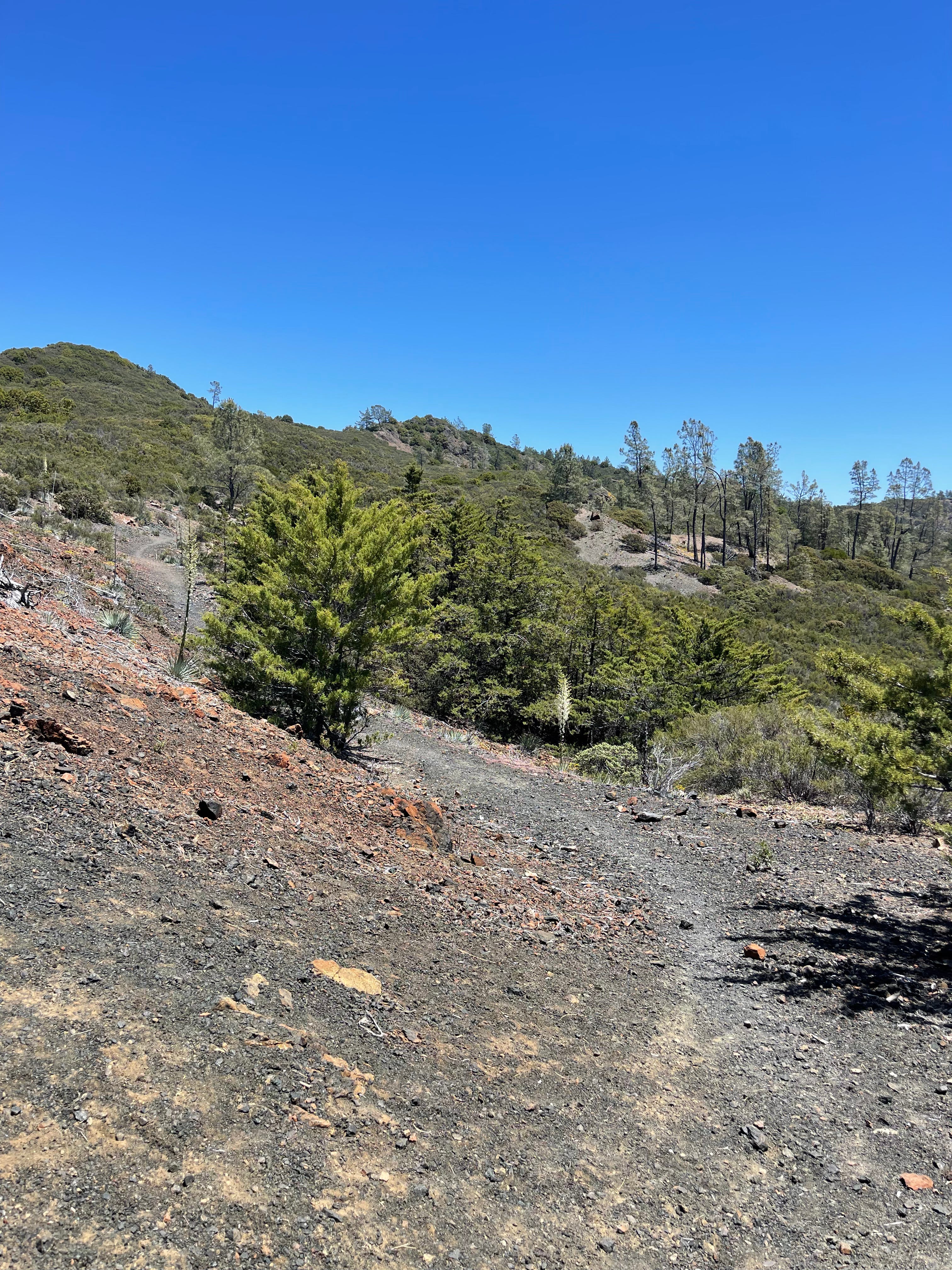
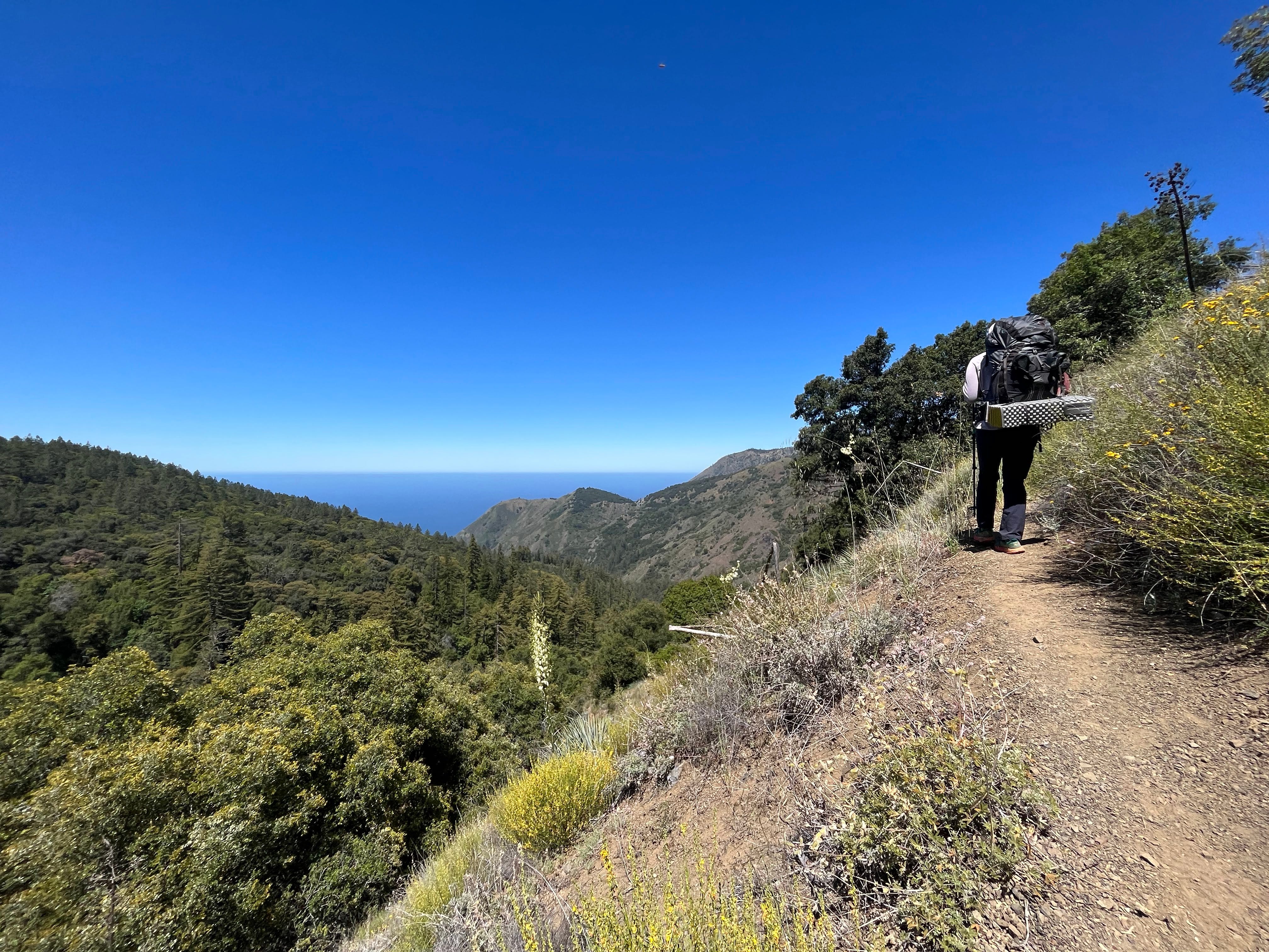
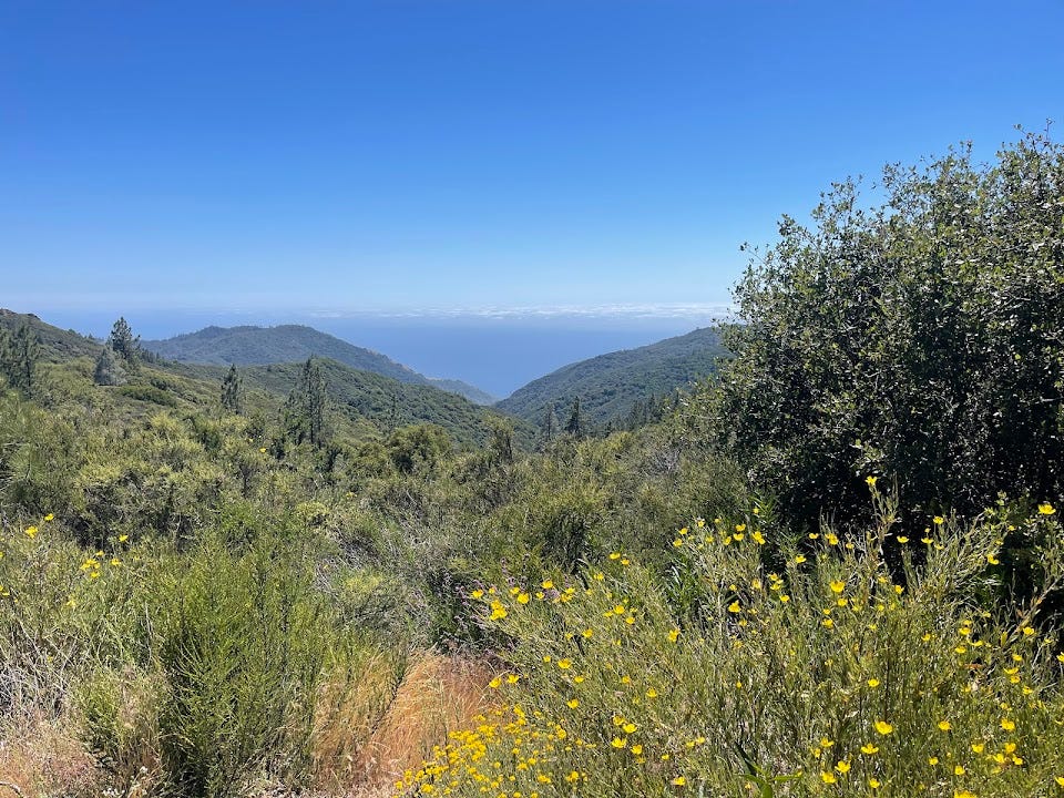
Back to the trail—after a few hours of hiking, we finally reached a sun-drenched ridge, blissfully poi'o-free.
Epic views
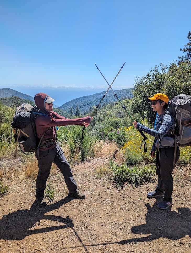
Epic sword fights
I had read in a trip report about an alternative route down the ridgeline, but after an hour of exploring, we found nothing but thorny bushes and decided to spare our skin.
We had planned to stop at Estrella camp but again found it fairly full and with more NIMBYs. We were tired at that point but continued down hoping that Spruce camp, even if it was full, would have friendlier folks.
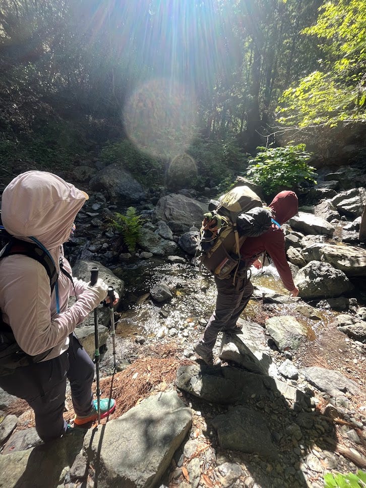
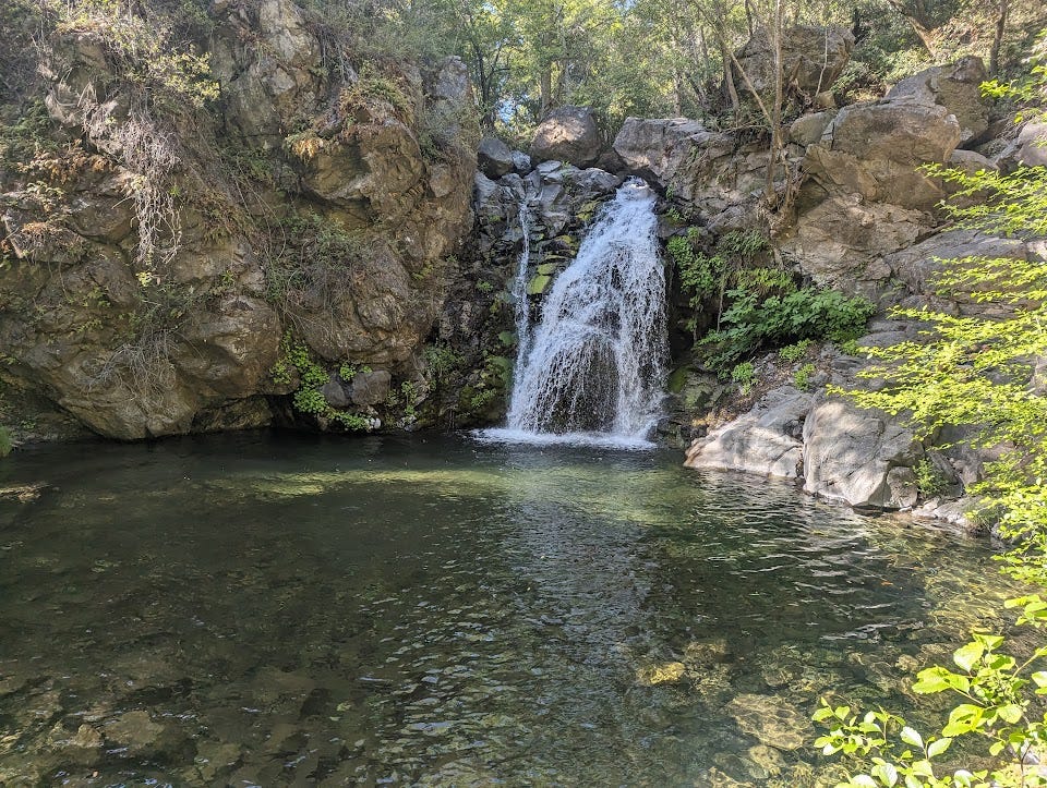
As we journeyed between Estrella and Spruce, I saw a short trail leading to a waterfall on a GPX file I had downloaded from a rando online. Minutes later, we were at a trail detour. The detour wasn't exactly where the map indicated, and the trail was overgrown. Fellow hikers passing by assured us there was nothing down there. With little hope, we left our backpacks on the main trail and cautiously made our way down the mysterious path.
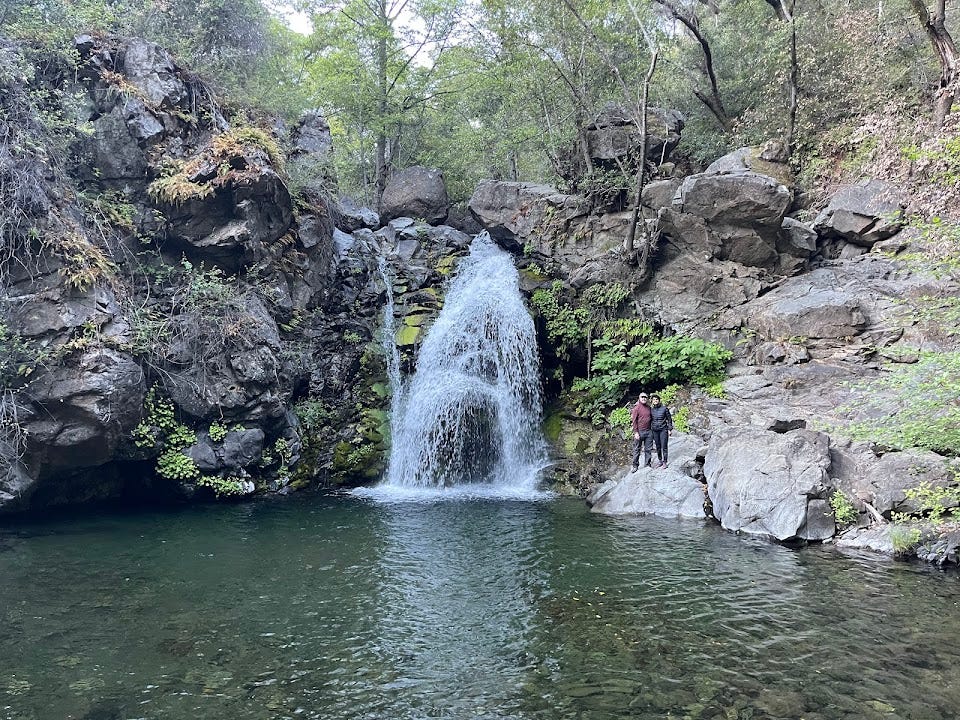
And, boy, were we wrong—the trail dumped you onto Salmon Creek and this most gorgeous falls.
You climb down the rocks on the right to get to the lake.
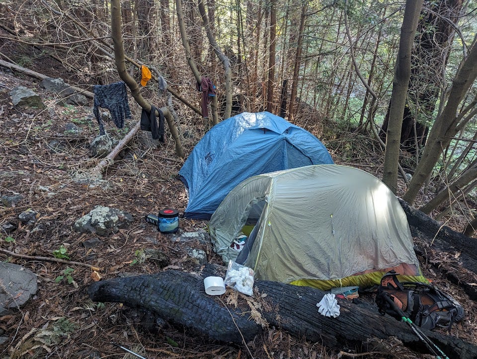
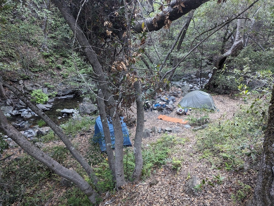
We met a couple down there and asked if they had found a campground. They said they hadn’t found much but had only gone downstream. It again wasn’t looking promising but I tried walking upstream. Within 5 minutes, I stumbled across a huge clearing and we thanked our lucky stars. It looked like the only open area for miles.
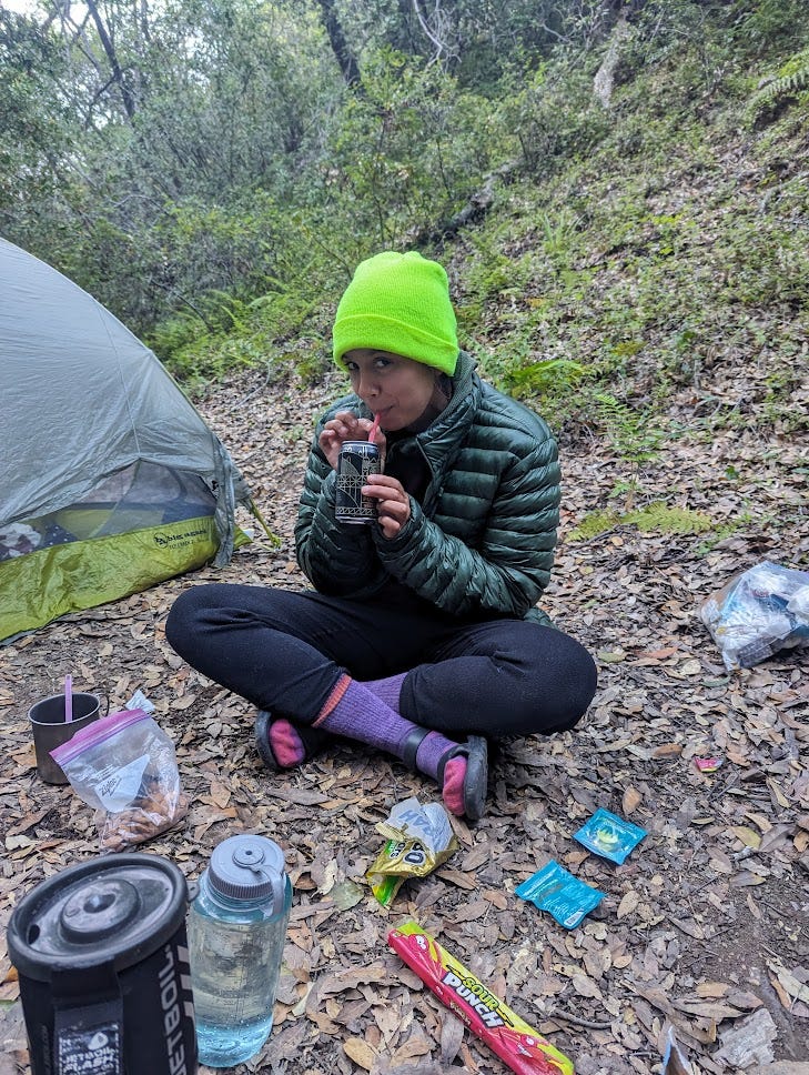
As we made camp, I took out our last beer to chill in the river and my friend went to explore. When she got back, she told us she had found 2 white claws and an IPA chilling in the creek—someone had either had forgotten them or kindly left a housewarming for the next group at this magical spot.
For dinner, my friend had packed some freeze dried meals and we washed it down with beer and sour punch straws.
Better than it looks - kind of tastes like sour beer
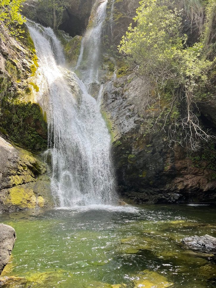
The next morning, we packed up camp and headed back to the car. We had saved a visit to another waterfall near the start of the trail for the end of our trip, just in case we didn't encounter any other falls along the way.
This waterfall was equally stunning and a bit more popular—probably 50 to 80 people were there during our visit.
After shot
Interested in doing a similar trail to this? Check out my companion website rangergupta.com, which shows backpacking trails in Northern California based on the current availability of permits.

")
Well written, Serena. Pictures are lively, tempting you to do the hike.